Úlfljótsvatn

Fishing season
01 May – 30 September
Baits allowed
Fishing limits
Guidance
Accessibility
Price range for fishing rods
Description
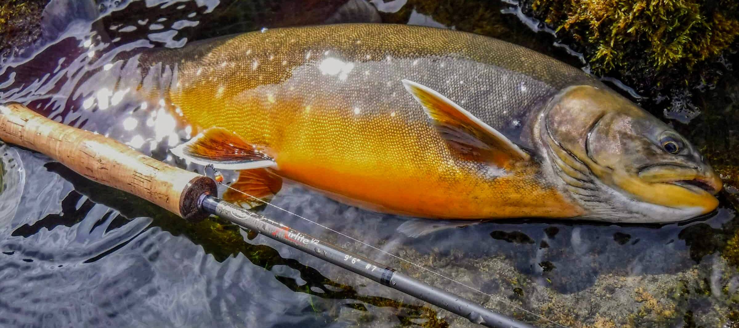
Úlfljótsvatn is a spring fed lake, as it is a drainage of Lake Þingvallavatn. There is a considerable current in the water where the average flow is 90 thousand liters per second. The lake is about 4 km² in size, is 80 m above sea level and is just over 20 m where it is deepest. Most of the catch is arctic char, but also some brown trout. The most common size of the fish is half to two pounds, but the number of larger fish has increased in recent years. The best time is from mid-June to mid-August.
Accommodation & Facilities
Camping
It is possible to buy accommodation at the Scouts’ organized camping site, where there are very good camping facilities. Further information can be found at ulfljotsvatn.is/campsite/ , among other things regarding various types of entertainment on site, e.g. boat rental and the like.
Fishing rules
All anglers must register at Úlfljótsvatn campsite webpage (see below) . All catches must be registered after fishing in a fishing book in a service house at the campsite or by clicking here for electronic registration. Neat handling is a requirement, and it is forbidden to leave rubbish by the lake.
All off-road driving is strictly prohibited. Fishing license holders who cause environmental damage are liable to the landowner.
Fishing reports can be downloaded from the Fishing Map website and printed out. If a tagged fish are caught, this should be mentioned in the catch report.
It is not permitted to bring boats to fish in Lake Úlfljótsvatn except in consultation with local landowners.
Children under the age of 14 fish for free accompanied by a cardholder
Directions
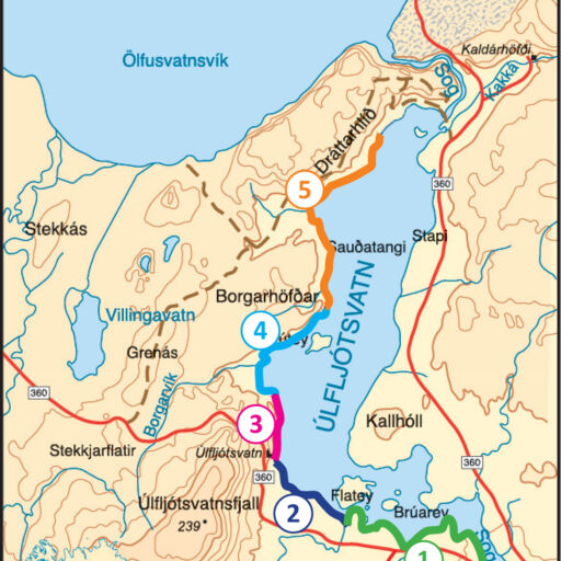
The fishing area reaches north to the border at Steingrímsstöð and in the south to the border at waterfall Írafoss. NOTE. AREA 2 IS NOT INCLUDED ON THE FISHING MAP

Services nearby
Nearest cities
Selfoss: 24 km, Reykjavík: 55 km, Reykjanesbær: 93 km and Akureyri: 416 km.
About the fishing license
Information: The Scouts Outdoor-center t: +354 482-2674, [email protected]
The west bank of the lake is part of the Fishing Map
Schedule
Starts at 7 am and it ends at 23 pm 23:00
Location
Latest news at Úlfljótsvatn
There are no recent catches at Úlfljótsvatn!
